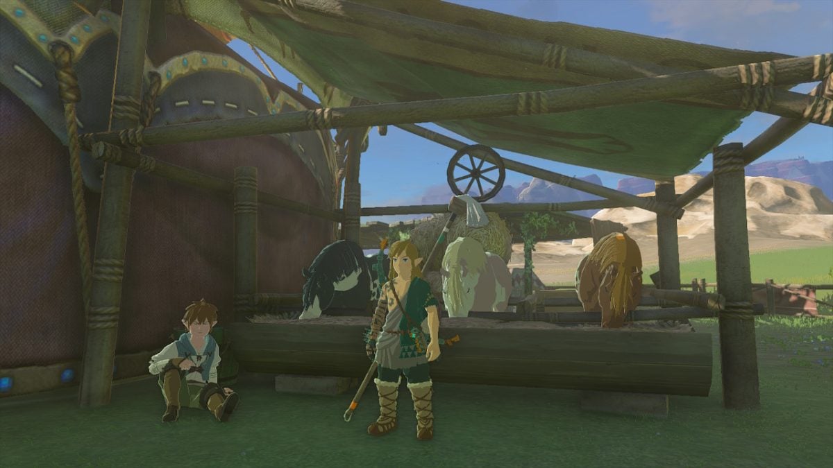
In The Legend of Zelda: Tears of the Kingdom, Hyrule Ridge is the region of the map revealed when you first ascend the Lindor’s Brow Skyview Tower. It’s the region west of Lookout Landing and is home to six Shrines. These six Shrines can mostly be found in the north and east of the region, and one of them is further west in what is technically the Tabantha Frontier.
Hyrule Ridge Shrine locations map for Zelda: Tears of the Kingdom
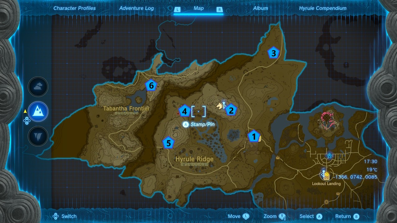
1) Sinakawak Shrine
Co-ordinates: -1413, 0757, 0089
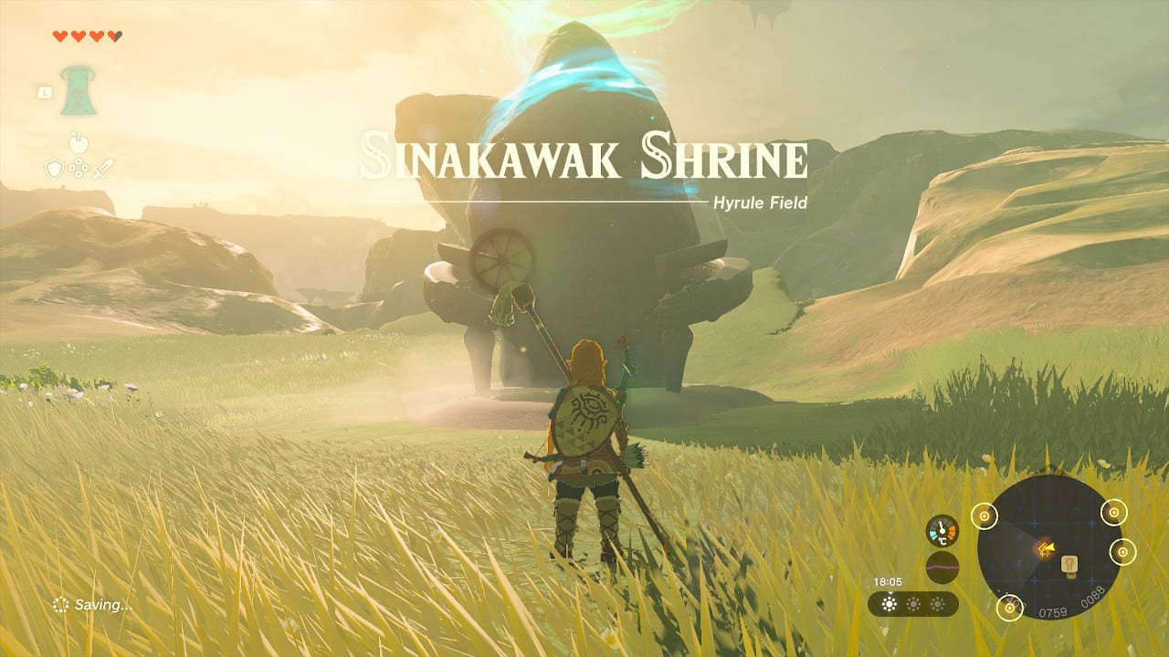
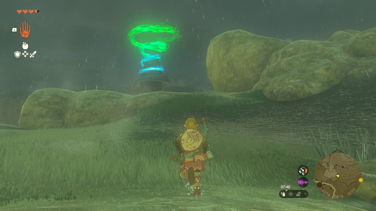
If you follow the road northwest from Lookout Landing and cross the Carok Bridge, then you’ll probably find the Sinakawak Shrine along the way. I know I did. It’s just a short distance past the New Serenne Stable in the middle of the North Hyrule Plain.
2) Taki Ihaban Shrine
Co-ordinates: -1828, 1196, 0147
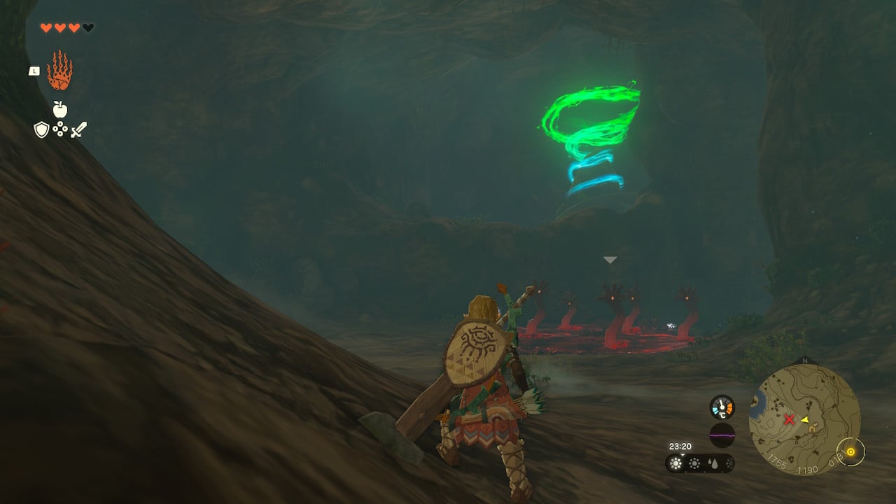
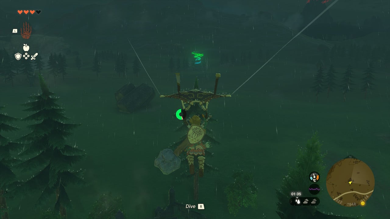
If you carry on up the road from the Sinakawak Shrine, then turn right at the intersection and head north, you’ll see Lindor’s Brow on your left. The Lindor’s Brow Skyview Tower should be clearly visible, and you can find the Taki Ihaban Shrine a short distance to the southeast of the tower, inside the Lindor’s Brow Cave. The coordinates for the Lindor’s Brow Cave entrance are -1735, 1166, 0230. Drop into the cave and splash into the pool, then follow the tunnel down, and glide across to the left to reach the ledge where the Taki Ihaban sits.
3) Kiuyoyou Shrine
Co-ordinates: -1106, 2086, 0104
Remember that road you were following north past Lindor’s Brow? Keep following it and you’ll come to the Kiuyoyou Shrine among some trees on the left. Or you could get here by gliding from the Lindor’s Brow Skyview Tower, like I did.
Related: Where to find all Lookout Landing Shrines in Zelda: Tears of the Kingdom
4) Runakit Shrine
Co-ordinates: -2534, 1167, 0177
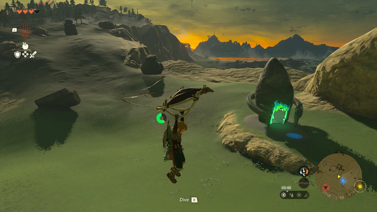
The Runakit Shrine is not close to a road, but you can get to it quite easily by gliding west from the Lindor’s Brow Skyview Tower. It’s on the plateau between Lindor’s Brow and Mount Rhoam and is close to a chasm that is clearly visible from the sky.
5) Makurukis Shrine
Co-ordinates: -2848, 0629, 0233
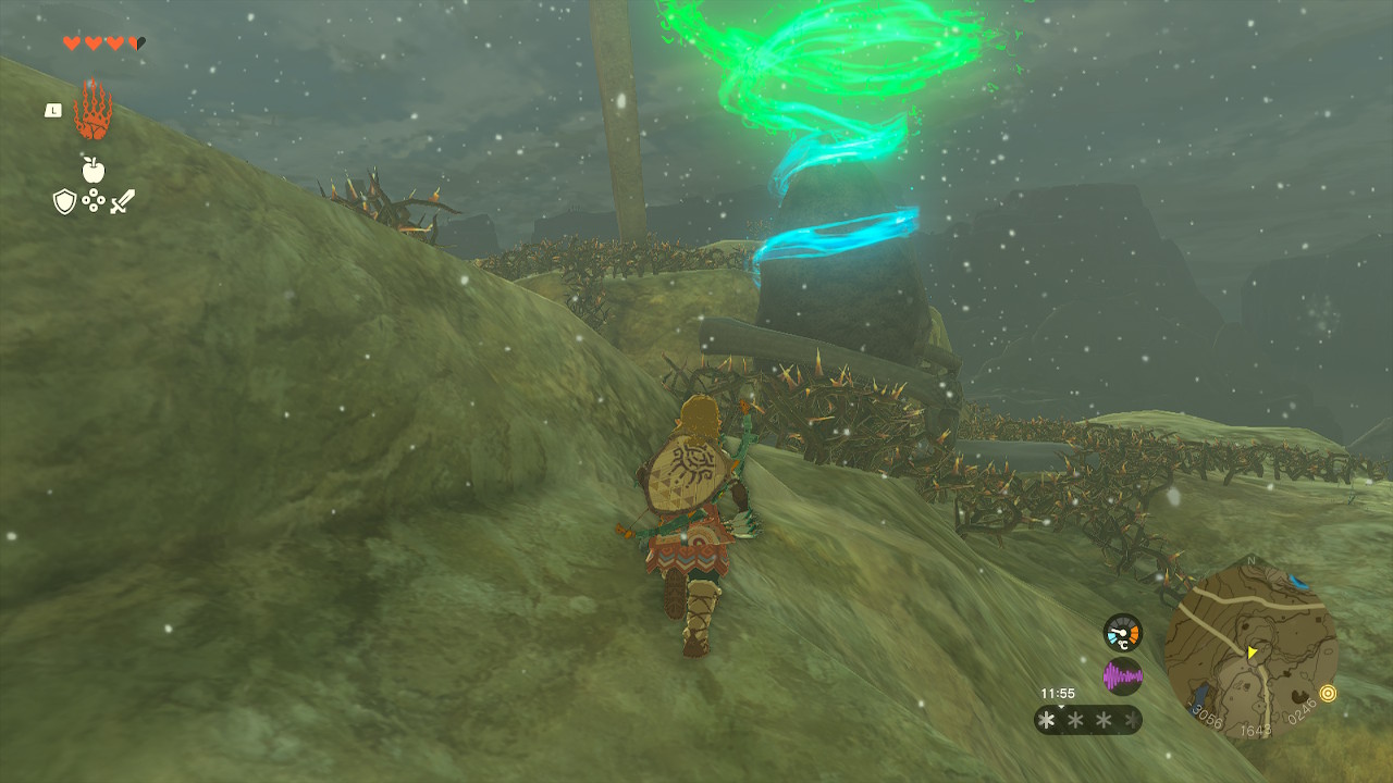
The Makurukis Shrine is on the opposite side of Mount Rhoam from the Runakit Shrine. It’s on the north side of the road just before the bridge over Tanagar Canyon.
6) Oromuwak Shrine
Co-ordinates: -3079, 1618, 0243
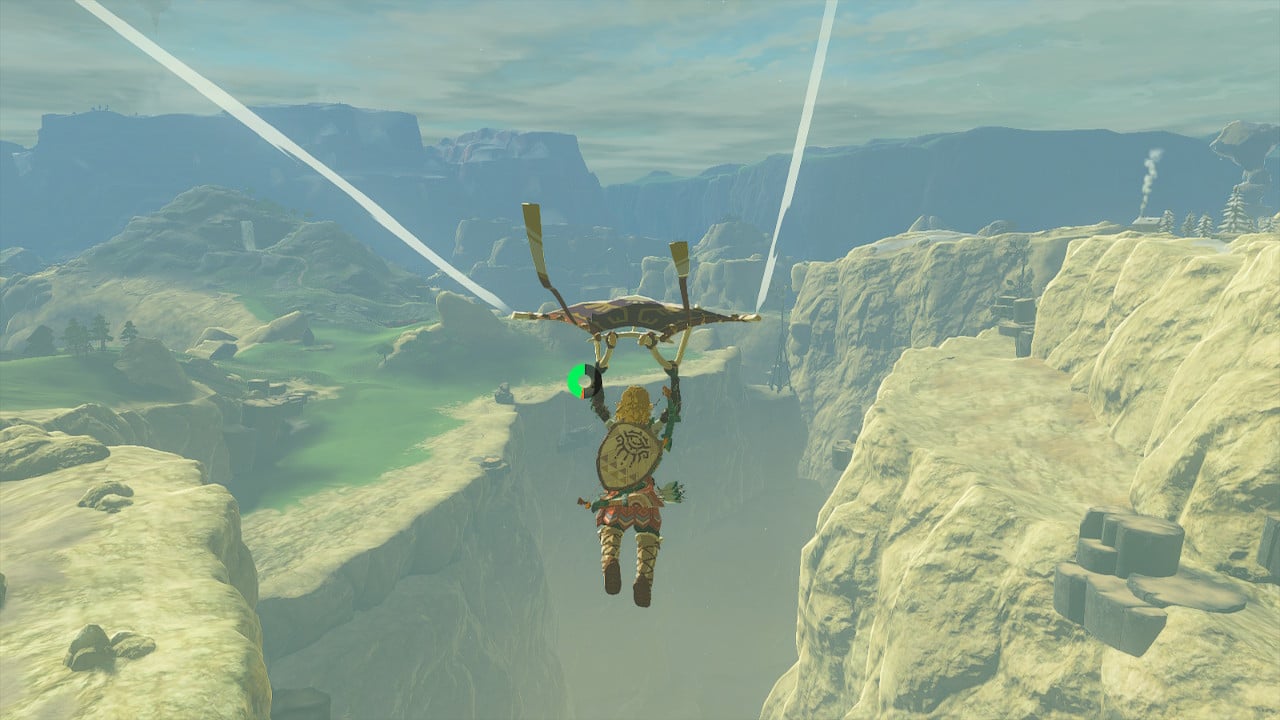
You’ll need to somehow cross the Tanagar Canyon to reach the Oromuwak Shrine, which is on the far side of the canyon, between Tama Pond and Kolami Bridge. You can get across via the bridge near the Makurukis Shrine, but I recommend just gliding across from the Lindor’s Brow Skyview Tower.


Published: May 22, 2023 04:51 am